The New York City Community Air Survey
NYCCAS Report: 2008-2024
The New York City Health Department (Health Department) established the New York City Community Air Survey (NYCCAS) in 2007, the largest ongoing urban air monitoring program of any U.S. city. NYCCAS, which began collecting data in December 2008, is a collaboration between the Health Department and Queens College of the City University of New York and provides data to:
- Track changes in air quality over time
- Estimate air pollution exposures for health research
- Help inform PlaNYC, the City’s sustainability plan
- Inform the public about local topics, such as recent air quality improvements, car-free zones, changes in the sources of air pollution, unique air quality studies conducted in New York City, efforts to reduce health impacts, public health benefits of public transit and differences in air quality and related health impacts across NYC neighborhoods
- Develop a tool (TRAPPA) to show how policy changes can change local emissions
- Publish initial air quality data from Congestion Relief Tolling
This report:
- Provides a summary of key findings, the air monitoring program, monitoring site selection, and descriptions of the pollutants measured
- Describes the trends in air pollutant levels from more than 15 years of data from winter 2008-2009 through fall 2024 for fine particulate matter, nitrogen dioxide, nitric oxide, black carbon, wintertime sulfur dioxide, and summertime ozone
- Presents maps of neighborhood air pollution levels by year
- Identifies the local sources that contribute the most to differences in these pollutants across New York City neighborhoods
Key Findings
Annual average levels of four key pollutants have gone down, citywide, between the first year of monitoring, 2009, and the most recent year of data, 2024.
- Fine particles (PM2.5) -36%
- Nitrogen dioxide (NO2) -41%
- Nitric oxide (NO) -62%
- Sulfur dioxide (SO2) -98%
Air quality improved significantly after local regulations required building owners to convert to cleaner heating oils by 2015. These heating oils were a major source of SO2 in New York City. Since 2017, most of the measurements collected for SO2 have been below what our monitors can detect. The SO2 levels in the city are similar to SO2 levels measured on Whiteface Mountain in the Adirondack Mountains, demonstrating the success of the clean heating oil requirements.
Ozone (O3) levels were slightly lower in 2024 compared to 2023, but are still above the average historical NYCCAS level. Ozone is produced when there are oxides of nitrogen (NOx) and volatile organic carbon emissions in the presence of sunlight and heat, which is why we see higher levels in the summer.
There has not been a consistent trend in O3 levels over the history of NYCCAS monitoring, but we may expect O3 levels to trend higher in the future with further increases in average temperatures due to climate change.
Air quality changes with location.
PM2.5, NO2, NO, and black carbon (BC) are highest in:
- Areas with higher density of commercial cooking grills and charbroilers
- Industrial areas, specifically areas with higher density of warehouses
- Areas of higher traffic density
- Areas with higher building density
O3 levels are highest in:
- Areas with lower vehicle emissions
Methods
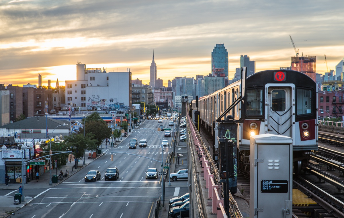
The NYC Health Department designed NYCCAS to understand how average air pollution levels vary from place to place within New York City. NYCCAS staff mount samplers on street light poles 10 to 12 feet off the ground along residential and commercial streets and in parks. The monitors use a small battery-powered pump and filters to collect air samples. Our air samplers are deployed at each NYCCAS site once each season and collect data for a two-week period. Samples are collected in all seasons for NO, NO2, PM2.5, and BC; and in the summer for O3. For more details on sample collection methods, see Appendix 1 (PDF).
The New York State Department of Environmental Conservation also has a network of 16 air quality monitors in New York City that are required by the federal government, but they are mounted on building roofs. We placed our air samplers at street level to measure pollution where people spend time, and where traffic-related pollution levels are usually higher.
NYCCAS has also deployed 14 monitors that can measure PM2.5 levels in real time. These monitors allow us to monitor air pollution as it changes based on the time of day, weather or due to local pollution sources, such as heavy-duty trucks. Get data on real-time air quality.
In 2024, an additional six real time monitors were deployed to help measure any potential air quality changes as a result of Congestion Relief Zone tolling in Manhattan below 61st Street. Five locations outside of the zone were chosen based on the environmental review’s predictions that congestion relief tolling could increase traffic on some nearby major roads. An additional monitor was placed along the Van Wyck Expressway in Queens. This site is used as a control because it was not expected to be have any changes in traffic due to the toll. Read more about the initial data results from Congestion Relief Zone tolling.
Pollutants Measured
Fine particles (PM2.5) are tiny airborne solid and liquid particles less than 2.5 microns in diameter. They are small enough to penetrate deep into the lungs and enter the bloodstream, which can worsen lung and heart disease and lead to hospital admissions and premature deaths.
PM2.5 can be either directly emitted or formed in the atmosphere from other pollutants. Fuel combustion in vehicles, boilers in buildings, power plants, construction equipment, marine vessels, and commercial cooking are all common sources of PM2.5. Between 20% and 30% of the PM2.5 in New York City’s air comes from sources in areas upwind from the city, such as coal-burning power plants in the Midwest.
NYCCAS Sites
The monitoring locations represent a wide variety of New York City environments – sidewalks, busy streets, parks, and quiet neighborhood roads. Most of the sites (80%) were chosen by the NYC Health Department to ensure representation in all types of neighborhoods, including residential, commercial, and industrial areas.
The locations vary in the density of traffic and buildings, as well as other environmental differences. The remaining sites were selected because they are near potentially high-emission locations that were not captured initially. These include the Hunts Point Market, the Port Authority Bus Terminal, and the entrance to the Lincoln Tunnel. The number of sites has changed over the years as we have learned about air quality in our city.
In 2024, we monitored 73 routine locations ![]() and an additional 11 sites in low-income neighborhoods
and an additional 11 sites in low-income neighborhoods ![]() that benefit from additional monitoring to understand potential sources of emissions. We refer to these 11 sites as Environmental Justice Sites, in green on the map, and enhance our monitoring with their data when resources are available. Read more about monitoring at Environmental Justice Sites.
that benefit from additional monitoring to understand potential sources of emissions. We refer to these 11 sites as Environmental Justice Sites, in green on the map, and enhance our monitoring with their data when resources are available. Read more about monitoring at Environmental Justice Sites.
Starting in 2024, NYCCAS began using MTA congestion relief tolling funds to increase monitoring at existing NYCCAS monitoring locations in Environmental Justice areas near highways that were projected to have increased traffic due to the tolling. NYCCAS is monitoring these six sites and one control site on a monthly basis. This data will be used in the required environmental evaluation of the Congestion Relief Zone over the next several years.
Pollutant Maps

Since it is impossible to sample the air in every location in New York City, we monitor representative sites to determine how pollution levels vary in relation to traffic, buildings, trees, and other neighborhood factors. We use NYCCAS monitoring data along with data on land use, traffic, building emissions, and other neighborhood factors around the monitors to build a model. This model is used to predict average air pollution levels at locations across the city, including places where no NYCCAS measurements were collected. For more details on emission source data, see Appendix 1 (PDF).
In the maps below, you can select a pollutant to see how air pollution is distributed throughout the city and how it has changed over time. The city’s air quality has changed significantly since NYCCAS began monitoring, as can be seen in the maps below. The levels of BC, NO2, NO, SO2, and PM2.5 have been significantly reduced citywide. The areas where we see the highest levels of these pollutants has also shifted.
Over time, there are better data available for us to understand the relationships between land use and pollution, and the air pollution patterns have shifted as the city changes. Although industrial land use has been a primary indicator of BC, NO, NO2, and PM2.5 pollution in the past, in the most recent years of data we see evidence that density of warehouses with loading docks better explains the difference in pollution levels between neighborhoods. Areas with a density of warehouses, such as Newtown Creek area in Queens and Brooklyn, near JFK airport, Red Hook/Sunset Park in Brooklyn, and Hunts Point in the Bronx, have higher levels of pollution.
There have been too few sites with SO2 values above the detection limit for us to include data after winter 2017-2018 in these maps and charts. SO2 levels have gone down dramatically since Local Law 43 of 2010 prohibited the burning of heavy fuel oil (No. 6) in New York City buildings (PDF). Historical maps for SO2 and other pollutants are available by clicking on the “All years” button below.
Winter and summer average maps for BC, NO2, NO, and PM2.5 are available in Appendix 2 (PDF).
- Citywide, annual average levels of black carbon declined by 56% between 2009 and 2024, an average of 0.05 micrograms per cubic meter per year.
- Across the 16-year period, higher levels were consistently seen near warehouses within industrial areas (reflecting increased truck traffic density) and in areas with higher nearby commercial cooking grills and charbroilers.
- In 2024, seasonal average BC concentrations across NYCCAS monitoring sites ranged from 0.01 to 1.8 micrograms per cubic meter. During the summer, wildfire smoke likely increased 2024 levels at all sites evenly throughout the city.

Pollutant Trends
Since monitoring began in New York City, we have seen a decrease in most of the air pollutants we measure. The figure below illustrates how the levels of each air pollutant have changed by season from winter 2008-2009 to fall 2024. During the summer of 2024, wildfires in western United States and Canada impacted air quality over several weeks in New York City. Wildfire smoke is a major source of PM2.5 and BC and likely the reason for above average concentrations in the summer. The wildfire smoke events impacted air quality evenly across the city.
Air pollution changes not only by neighborhood, but also by season. Some pollutants are highest in certain seasons of the year because of either weather patterns or emissions sources. For example, O3 is produced when NO and NO2 and other airborne pollutants react in the presence of heat and sunlight. Therefore, we only monitor O3 in the summer when direct sunlight is highest and days are longer.
Decreases in average concentrations of NO2, NO, and PM2.5 are not always evenly distributed across the city. For example, neighborhoods with more industrial zones with more diesel truck traffic, neighborhoods with large numbers of restaurants, and areas of higher traffic and building density generally have higher pollutant concentrations than neighborhoods with lower densities of emission sources. In the figure below, you can also choose each pollutant’s main sources, and see air pollution for neighborhoods with high, medium, and low density of those emissions sources, as well as the overall annual average for these monitoring locations.
Pollutant Predictors
NYCCAS data were analyzed using a model that estimates associations among pollution levels and land uses, like traffic and zoning, around the monitoring sites. The pollution sources that contribute most to differences in concentrations of NO, NO2, BC, and PM2.5 across NYC are listed in the table below. SO2 is now so low in NYC that it has not been possible to build a model for SO2 concentrations since 2018.
Fuel used to provide heat and hot water in buildings has become significantly cleaner under state and local regulations requiring use of cleaner burning fuels. As a result, commercial charbroiling and grilling operations have become a more important source of PM2.5 emissions over the past several years. The number of charbroilers and grills in restaurants in an area now explains PM2.5 and BC differences among neighborhoods better than building emissions. For more information on these changes, see tracking changes in New York City’s sources of air pollution.
| Indicator | Description | Associated sources |
|---|
Conclusion
This report underscores the importance of local emissions reduction efforts over the past decade and highlights the continued need to reduce emissions citywide. The City’s sustainability plan, PlaNYC, has already and will continue to improve air quality, providing important public health benefits to all New Yorkers. These strategies and measures include:
- Reducing emissions from commercial charbroiling through regulations and technical support to restaurants
- Getting the most polluting trucks off New York City streets
- Creating low or zero emission freight networks and reducing reliance on trucks
- Improving and expanding public transit
- Accelerating the phase-out of fossil fuel combustion in buildings, focusing on the communities most impacted by air pollution-related health impacts
Air quality in New York City has greatly improved over the past decade and will continue to improve with efforts to control emissions from the most important sources.
- Appendix 1 (PDF): Sampling Methodology and Data Sources for Emissions Indicators
- Appendix 2 (PDF): Seasonal Average Pollutant Maps
- Appendix 3 (PDF): Community District Average Pollution Levels
- The Public Health Impacts of PM2.5 from Traffic Air Pollution
- NYC OpenData: NYCCAS Air Pollution Rasters
- New York Community Air Survey: Information and Reports